If you’re looking for a quick, easy, child-friendly hike, walking the paths at Iao Valley State Park offers beautiful views at a convenient driving distance.
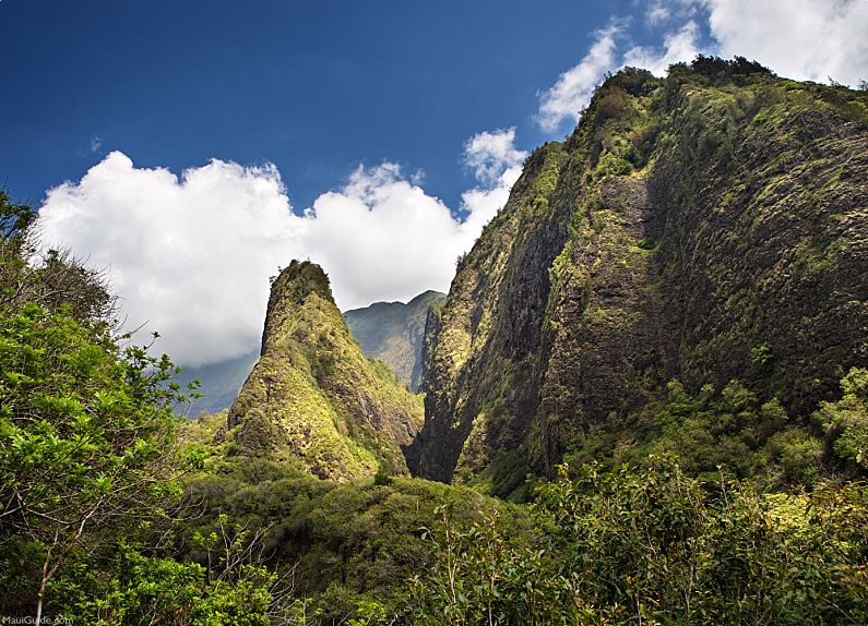
The paved walking path leading to the towering moss-covered basalt mantle famous Iao Needle (the correct name for this 2,250-foot high peak is Kukaʻemoku) in the lush West Maui Mountains (more accurately called Kahalawai) is frequented by many tourists every day. However, don’t let the crowds discourage you from exploring the stream-side paths and ethnobotanical plant garden along the way.
Iao Needle Overlook
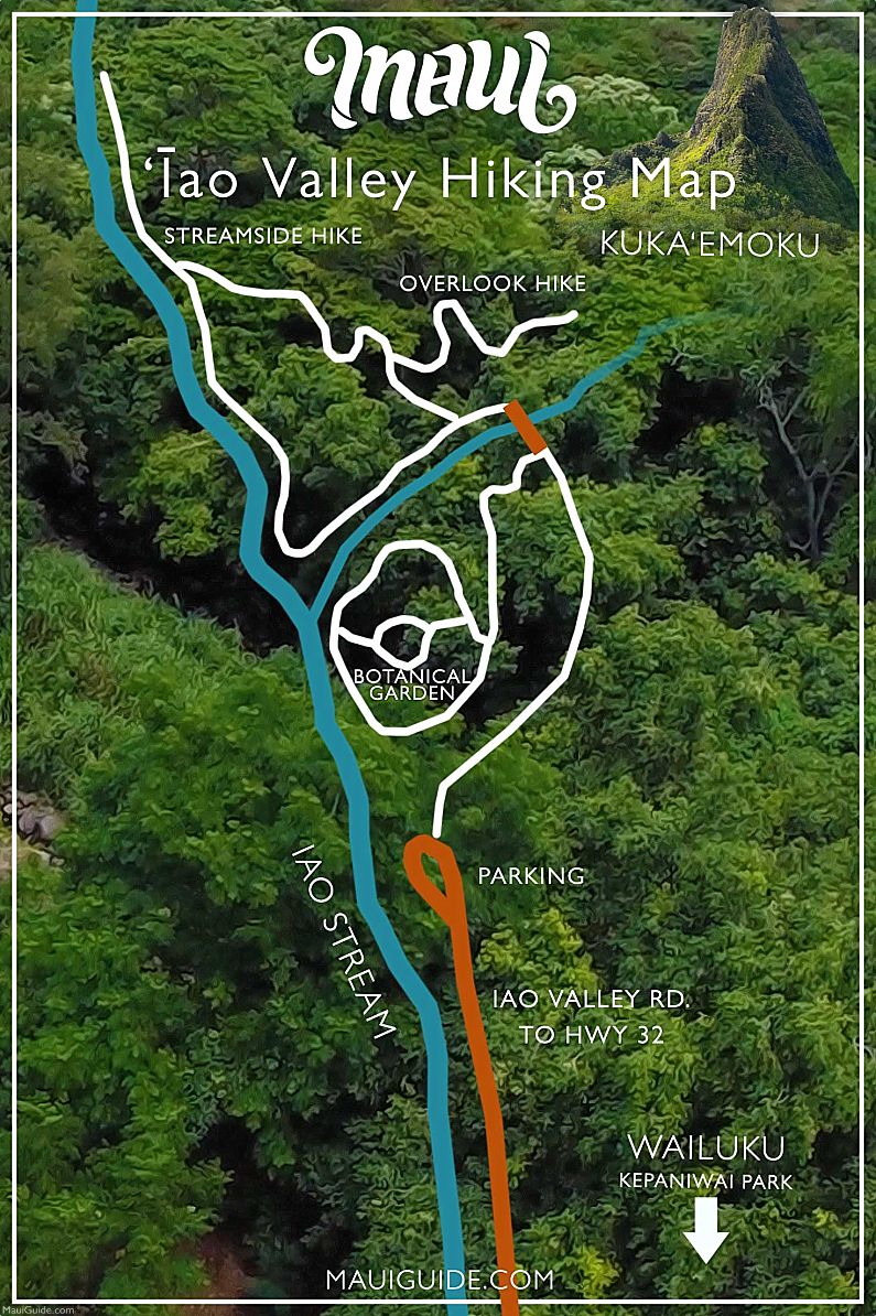
The Iao Needle Overlook and Botanical Garden can be found within lao Valley State Park, an ancient and spiritual site situated in a lush green gorge in the Kahalawai. The state park spans six acres, including the lao Needle Overlook, which is a covered pavilion with benches offering a stunning view of Wailuku, ʻlao Valley, ʻlao Needle, and the steep valley walls (think Jurassic Park, which portions were actually filmed in this lush region.) A paved nature trail winds through a tropical botanic garden along the banks of the Iao Stream, featuring both native and non-native plants. This hike takes less than 20 minutes for a little over 1/2 a mile. There are sections with uphill stairs, so be ready for some stair climbing.
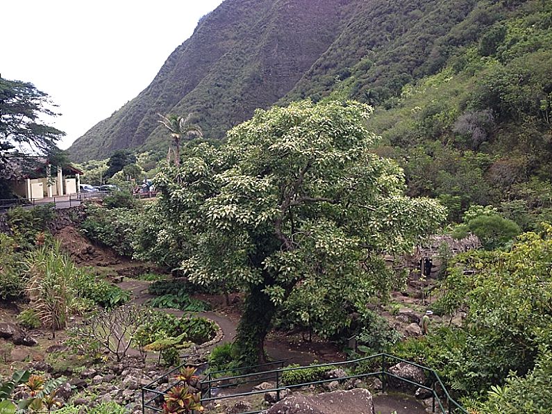
To begin the hike, follow the paved path past the restrooms towards the bridge over a tributary of the ʻlao Stream. Before crossing the bridge, take the interpretive nature trail to the left, which leads down into the botanical garden. Follow the paved path and take time to explore the gardens and ponds. The trail loops at the southern end along ʻlao Stream. Once finished, return to the main trail by the bridge, cross the bridge, and turn left on the paved path towards a trail split.
To continue the hike to the lao Needle Overlook shelter, take the right fork and ascend over a hundred steps. The shelter is located at the end of the trail and offers panoramic views of the surrounding area. Alternatively, take the left fork to reach the Streamside Trail.
Streamside Trail
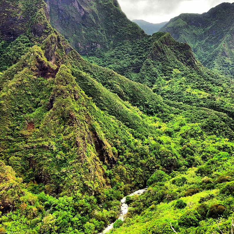
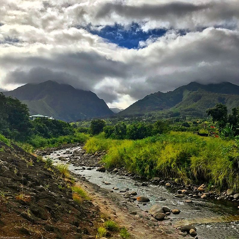
The Streamside Trail winds through the verdant and dramatic landscape of Iao Valley State Park next to the Iao Stream, fed by the Puʻu Kukui watershed, a native cloud forest. A complex system of tributary streams flows from the folds of the valley, converging within the park to create the lao Stream. The trail includes a footbridge crossing a stream and meanders through shaded tropical rainforests, leading to picturesque cascades, tiny waterfalls, and natural pools.
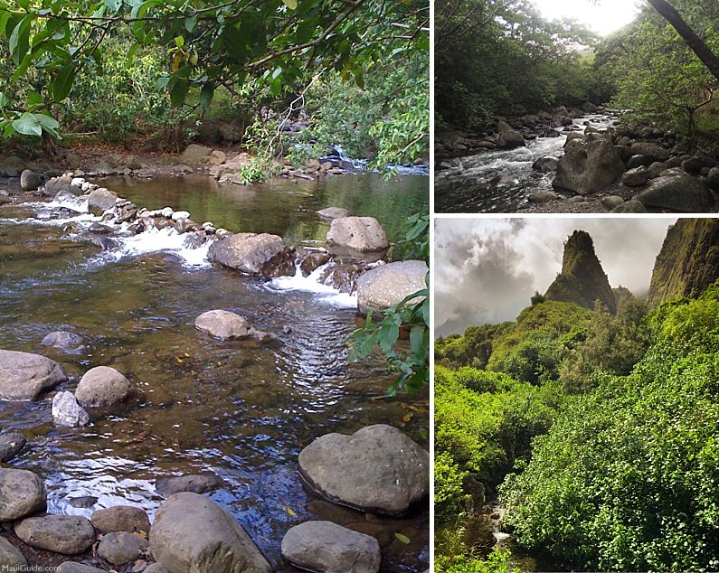
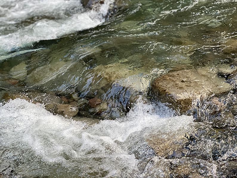
Begin by walking up the paved path past the restrooms to a bridge spanning a tributary of lao Stream, offering an excellent view of the 2,250-foot Iao Needle. After crossing the bridge, turn left to reach a trail split. The right fork leads to the lao Needle Overlook (see above), while the left fork descends to lao Stream. Follow the paved path alongside the stream as the cascading whitewater tumbles over rocks. As the path curves to the right, away from the stream, be on the lookout for a streamside footpath heading west. You can take the footpath upstream into the rainforest, passing more pools. Be cautious, as the mossy rocks can be slippery, so stay on the path!
Return to the paved path, and take the left fork. Ascend the hill through guava and yellow ginger trees to reach a junction. The left fork climbs steps to the lao Needle Overlook (Hike 13). Stay on the right to complete the loop, and then return to the left fork (see map).
Iao Valley Tips and Directions
To avoid crowds, it’s recommended to visit Iao Valley State Monument early or late in the day. It’s also important to check the weather report before visiting, as this is one of the rainiest spots on Earth, and flash flooding can occur during rainfall. Take caution when hiking next to the stream, and we discourage swimming.
To get to Iao Valley State Monument, drive 0.5 miles west on Main St. (Hwy. 32) through Wailuku Town from the intersection of Main and High Streets. Then, veer right at the fork in the road and follow Iao Valley Road for 2.2 miles over the bridge past Kepaniwai Park.
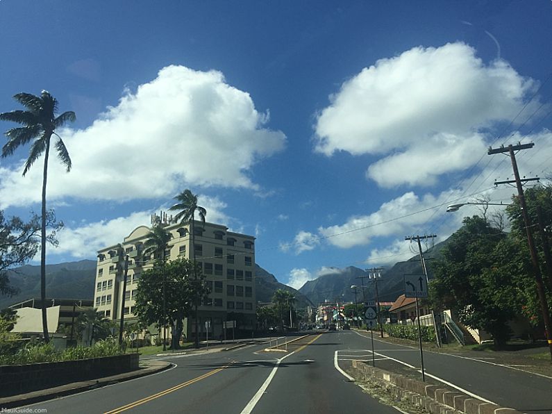
At the monument, there is a small, two-level paved parking lot available. If the lot is full, backtrack east to find more parking at Kepaniwai Park and walk 0.7 miles west along the road to the state monument entrance.
Iao Valley Parking and Entry Reservations are now required for out-of-state visitors. Currently, the rates are $10 per vehicle and $5 per person. Hawaii residents will continue to enter for free with ID. Enjoy your visit!


Auwe—now you are showing the tourists an indescribable heaven of a place. As a local boy we use to go up into the valley behind the Iao Needle in the late 1950’s. The natural flora beauty is indescribable. Allow persons to enjoy this location but it must be preserved. I also used to go up to Puu Kukui summit from Lahaina side on numerous occasions to check the rainfall registration gauges. Aloha Nui
Thank you for sharing! Our map only shares areas within the boundaries and with walking paths. We really don’t encourage visitors (or anyone) to hike outside of these areas as flash floods have taken lives.