Maui > Road To Hana > Keanae

Keʻanae Peninsula
Just past the Keanae Arboretum along the Hana Highway, you’ll find a road on the left past mile marker 16 down to the village of Keʻanae. Pay attention to the jagged, black lava rocks and note that there is no swimming here due to the dangerous and rocky shoreline.
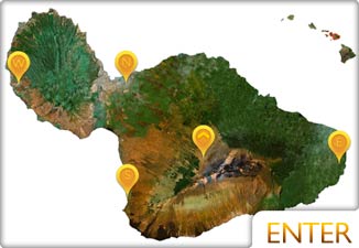
See Keʻanae Map
About Keanae
A traditional Hawaiian village, Keʻanae is known for its taro fields, much like their ancestors. This area attracts fishermen and photographers from all over the world looking to catch Maui’s famous North Shore waves against the beautiful Keʻanae peninsula.

On your drive down, you’ll pass a stone church built in 1856, the only remaining building after the devastating tsunami of 1946, which killed twenty-four people when waves topping 35 feet crashed into the village with no warning. Following this tragedy, the Pacific Tsunami Warning Center was implemented, which still sits on Oahu’s Ewa Beach.
While there is no swimming here, grab a smoothie and some coconut candy at the stand close to the Keanae Congregational Church and watch the waves roll in.