
UPDATES AS OF:
8:20 pm Sunday, July 26th, 2020
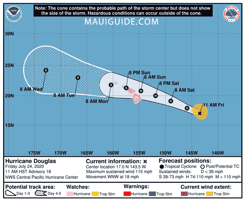
Hurricane Douglas passed us without much effect. In the last few days, it’s gone from a Category 4 down to 1, though it’s still a major Hurricane. This morning, it was windy and rainy here Upcountry. Then the wind died, and we only had an off and on light drizzle. PHEW!
As of 8 pm, max sustained winds are currently at 85 mph making it a category 1 hurricane and is moving past Oahu at 16 mph. Here are the different categories:
- Category 5 – sustained winds of 157+ mph – most framed homes destroyed. Uninhabitable for weeks to months.
- Category 4 – sustained winds of 130-156 mph
- Category 3 – sustained winds of 111-129 mph
- Category 2 – sustained winds of 96-110 mph
- Category 1 – sustained winds of 74-95 mph – Possible roof damage, branches broken, power outages.
- Tropical Storm – sustained winds of 39-73 mph
That’s it! Good practice for the next one that comes our way.
See the current position of the storms here.
For live video, check out these Maui webcams. Keep in mind, since COVID-19, many of our webcams have gone down due to our partner locations closing the doors to their businesses. Without electricity or the internet, there are no camera feeds. BUT, that being said, we have a few cameras below that are functioning well.
A timelapse the worst part of the hurricane.
Lahaina Live video feed
Upcountry Live video feed
We don’t run this one at night. Feed provided by Maui Guide.
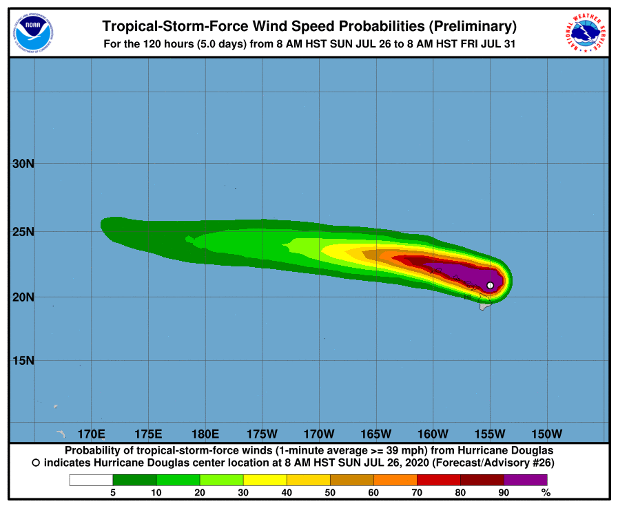
For the most current wind speed, check out Douglas windspeed.
________________________________________
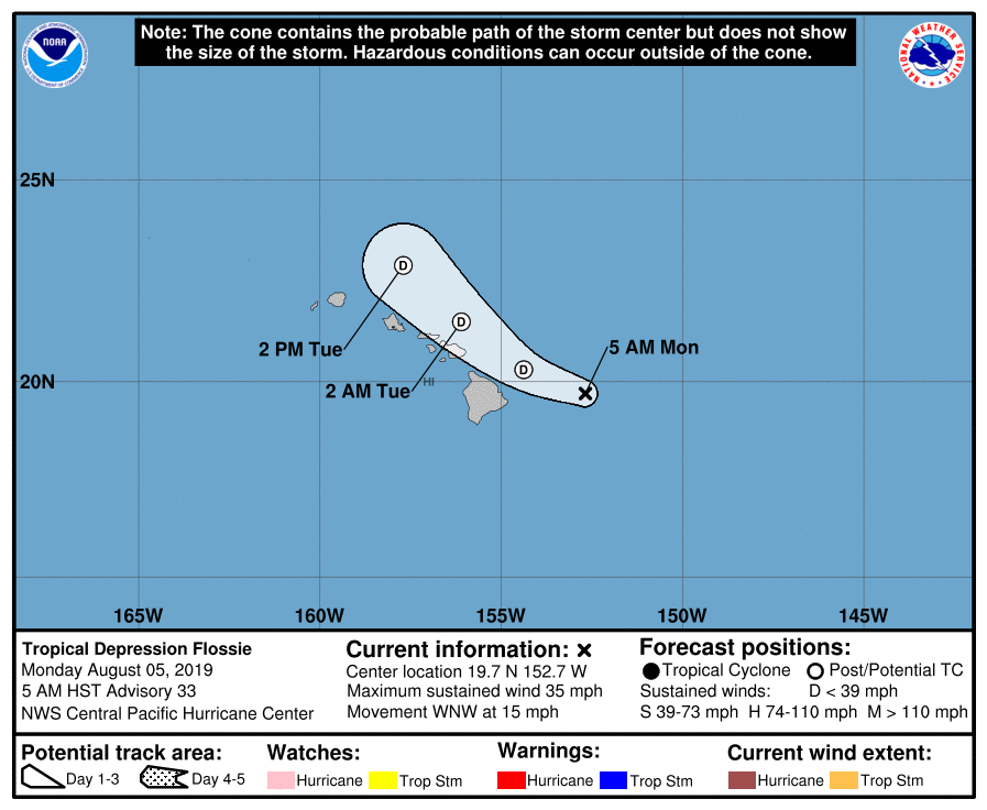
Hurricane Erick & Flossie – 1:30pm Thursday August 6th, 2019
Erick fizzled out as it passed us, only bringing rain and windy conditions. Hurricane Flossie was downgraded significantly to a Tropical Depression and also passed us without much more than lots of wind and rain due to its more northern and direct approach compared to Erick. We’re all very grateful for it having not been a danger.
Hurricane Olivia – One of our Previous Storms
Tropical Storm Olivia crossed over us. We’ve had flash flooding, storm surges, large waves, fires, landslides, and damage from high winds. Please stay safe and always be more prepared than you need to be.
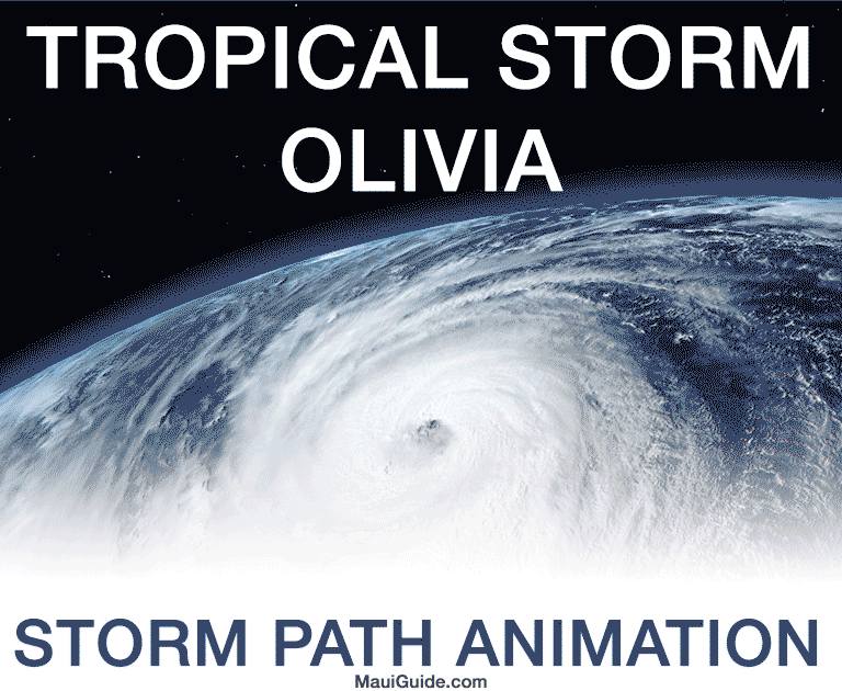
Theanimation of Tropical Storm Olivia above is from Thursday September 11 – 13, 2018.
OLIVIA MOVING RAPIDLY TOWARD THE WEST-SOUTHWEST FAR SOUTHWEST OF HAWAII
FLOODING RAINFALL CONTINUES ACROSS PARTS OF THE MAIN HAWAIIAN ISLANDS
500 AM HST Thu Sep 13 2018
Location: 19.5N 162.2W
Max sustained: 35 MPH
Moving: WSW at 18 MPH
Min pressure: 1008 MB
Hurricane Lane – Our Previous Storm
Hurricane Lane turned into a tropical storm before it came too close to Maui. We’re so grateful it didn’t hit us square on. That being said, plenty of damage resulted from flash flooding, storm surges, large waves, fires, landslides, and other damaging weather.

Tropical Storm – winds 39-73 mph (34-63 kt)
Category 1 – winds 74-95 mph (64-82 kt)
Category 2 – winds 96-110 mph (83-95 kt)
Category 3 – winds 111-129 mph (96-112 kt)
Category 4 – winds 130-156 mph (113-136 kt)
Category 5 – winds 157 mph and up (137+ kt)
Hurricane Lane Evacuation Shelters
The list of Maui shelters locations are as follows:
- Hana High School
- Lahaina Civic Center
- King Kekaulike High School
- Molokai High School
- Maui High School (pet friendly)
- Lokelani Intermediate (pet friendly)
- Lanai High (pet friendly)
Bring whatever they need to make themselves comfortable at the shelters (food, water, blankets, books, medication, pillows, etc…) For more information call Red Cross hotline at 357-3387. Or Call Maui Emergency Management Agency for more information at 270-7285 or visit www.mauicounty.gov.

Thanks for the tips! The water cleanup process is an unpleasant experience, and best avoided. It’s hard to know the best ways to protect your home during a bad storm. Thanks for the clarity!
Prayers for all!!!
In JESUS NAME ❤
Iniki …what year?
Hurricane Iniki was in September of 1992 during El Nino year. It got to Category 4 and blazed right up through the island of Kauai.
Prayers for all…..